The Coolest Thing!
 Check out a cool new feature from Google Google Maps. Where you can literally drill down to your street US or UK and see the streets around, great if you need to find somewhere and you know "where it's near". Double click on a spot to centre the map on it, and then zoom in some more on the slider on the left, repeat till you see what you need.
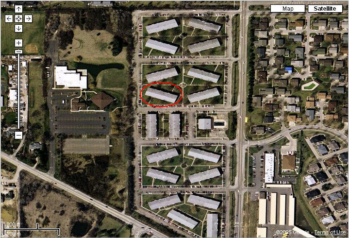
But wait, that's not even the cool part! If you click on the Satellite link on the upper right corner, you can see a satellite picture of your house. I suppose the satellite images are supplied from US satellites, as you cannot get so close on the pictures of UK places, although the maps do go down to street level.
This picture is our actual building. I don't know how often they get updated as this is an old picture, they have moved the pool in the last 6 months, but still, it's way cool. As my boss Todd said, if they let Joe Public see this image, just how close do you suppose the government satellite images can get, Big Brother is most definitely watching. Maybe we can use it to find the bomber scum!


Comments